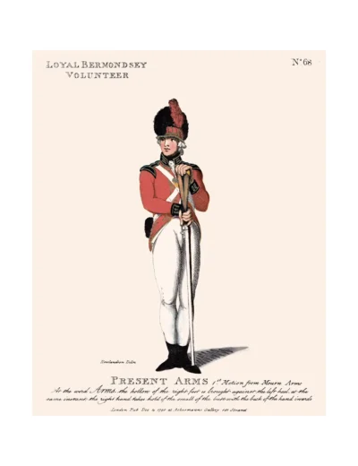

No. 68 Loyal Bermondsey Volunteer Association
£15.00
Bermondsey (scroll down for a more detailed Description)
The first reprints of the 1798 aquatints by Thomas Rowlandson (published by Rudolph Ackermann) published in 1972 by Hugh Evelyn Limited.
Image size is 20.5 x 25.5 cm [8” x 10”] against a light greyish orange background (c. RGB fcf2e1) impressed on medium high white matt cartridge paper of c. 120 g/m2.
Print size: c. 26.2 x 33.7 cm [17” x 12 ¾”] may vary slightly from printers’ cut 50 years ago
Details of London Wards and Parishes provided by © the British Library
We offer thanks to the Trustees of the British Library and British Museum and Wikipedia for some text (and map outlines
Print is STANDARD size – shipping is the same for 1 to 10 prints (based on largest print size in your order) – see Shipping & Returns
Who were the Loyal Volunteers ? See here
In stock
Description


Bermondsey (see maps attached) is a district in southeast London, part of the London Borough of Southwark, England, 2.5 miles (4.0 km) southeast of Charing Cross. To the west of Bermondsey lies Southwark, to the east Rotherhithe and Deptford, to the south Walworth and Peckham, and to the north is Wapping across the River Thames. It lies within the historic county boundaries of Surrey. As it developed over the centuries, Bermondsey underwent some striking changes. After the Great Fire of London, it was settled by the well-to-do, and took on the character of a garden suburb especially along the line of Grange Road and Bermondsey Wall East as it became more urbanised. A pleasure garden was constructed during the Restoration period in the 17th century, commemorated by the Cherry Garden Pier. Samuel Pepys once visited here with his wife and servants.
Though not many buildings survive from this period, one notable exception is the church of St Mary Magdalen in Bermondsey Street, completed in 1690 (although a church has been recorded on this site from the 13th century). This church survived the 19th-century redevelopment phase and the Blitz unscathed. It is an unusual survivor for Bermondsey as buildings of this period are relative rarities in Inner London in general.
The lower map shows the location of Jamaica House where the description below tells us that the Volunteers met and kept their arms. Samuel Pepys once visited Jamaica House, which at some stage became a tavern, with his wife and servants.
Additional information
| Weight | 0.0121 kg |
|---|---|
| Dimensions | 25 × 35 cm |