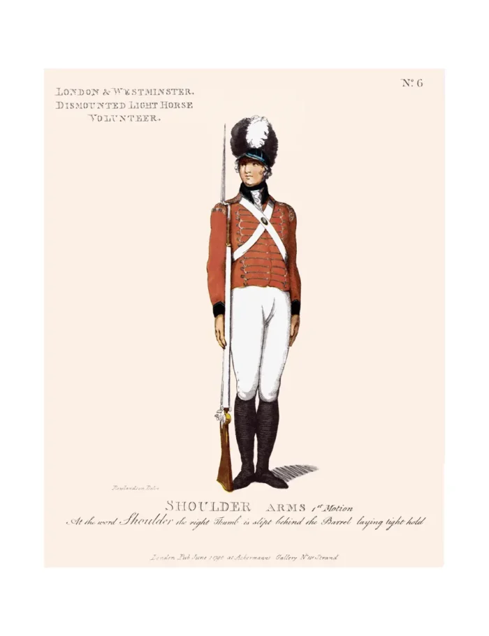
No. 6 London & Westminster Dismounted Light Horse Volunteer
£15.00
Cities of London and Westminster (scroll down for a more detailed Description)
The first reprints of the 1798 aquatints by Thomas Rowlandson (published by Rudolph Ackermann) published in 1972 by Hugh Evelyn Limited.
Image size is 20.5 x 25.5 cm [8” x 10”] against a light greyish orange background (c. RGB fcf2e1) impressed on medium high white matt cartridge paper of c. 120 g/m2.
Print size: c. 26.2 x 33.7 cm [17” x 12 ¾”] may vary slightly from printers’ cut 50 years ago
Details of London Wards and Parishes provided by © the British Library
We offer thanks to the Trustees of the British Library and British Museum and Wikipedia for some text (and map outlines
Print is STANDARD size – shipping is the same for 1 to 10 prints (based on largest print size in your order) – see Shipping & Returns
Who were the Loyal Volunteers ? See here
In stock
Description

Westminster, a central area of London, became a city in 1539. (See map). For centuries Westminster and the City of London were geographically quite distinct. (See Map). It was not until the sixteenth century that houses began to be built over the adjoining fields, eventually absorbing nearby villages such as Marylebone and Kensington, and gradually creating the vast Greater London that exists today. Westminster is bordered by the City of London to the East and, until 1965 by Marylebone and Paddington to the North (which were both then absorbed into Westminster) and by Kensington and Chelsea to the West. The River Thames forms the Southern border.
This Corps was an earlier creation than many of the other volunteer units – formed in 1779. At that time Britain was at war on three fronts: The Revolutionary War in America, the East India Company, with British troops, fighting the Marathas in Wadgaon, India, and were forced to return all territories acquired since 1773 and the Siege of Gibraltar had began. The London & Westminster Volunteers were a group of well connected gentry from across the whole of London (London and Westminster by this time being two neighbouring cities).
Additional information
| Weight | 0.0121 kg |
|---|---|
| Dimensions | 25.25 × 32.5 cm |


