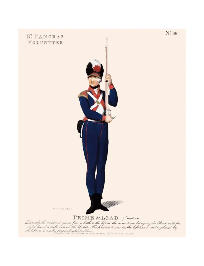
No. 38 St. Pancras Volunteer
£12.50
St. Pancras (scroll down for a more detailed Description)
The first reprints of the 1798 aquatints by Thomas Rowlandson (published by Rudolph Ackermann) published in 1972 by Hugh Evelyn Limited.
Image size is 20.5 x 25.5 cm [8” x 10”] against a light greyish orange background (c. RGB fcf2e1) impressed on medium high white matt cartridge paper of c. 120 g/m2.
Print size: c. 26.2 x 33.7 cm [17” x 12 ¾”] may vary slightly from printers’ cut 50 years ago
Details of London Wards and Parishes provided by © the British Library
We offer thanks to the Trustees of the British Library and British Museum and Wikipedia for some text (and map outlines
Print is STANDARD size – shipping is the same for 1 to 10 prints (based on largest print size in your order) – see Shipping & Returns
Who were the Loyal Volunteers ? See here
In stock
Description

St Pancras is a large district in north London. St Pancras was originally a medieval ancient parish and subsequently became a metropolitan borough. The metropolitan borough then merged with neighbouring boroughs and the area it covered now forms around half of the modern London Borough of Camden.
The area of the parish and borough takes in the sub-districts of Camden Town, Kentish Town, Gospel Oak, Somers Town, King’s Cross, Chalk Farm, Dartmouth Park, the core area of Fitzrovia and a part of Highgate. Broadly speaking, the names of the sub-districts are more widely used than that of the wider St Pancras area. The ancient parish of St Pancras (also known as Pancrace or Pancridge) was established in the medieval period to serve five manors: two manors named St Pancras (one prebendial, one lay), Cantlowes (Kentish Town), Tottenham Court and Rugmere (Chalk Farm).
The map shows the Ancient Parishes of – west to east – Paddington and St Marylebone (in the modern City of Westminster), and St Pancras (in the modern London Borough of Camden) in 1834.
By the end of the nineteenth century, the ancient parish had been divided into 37 ecclesiastical parishes, including one for the old church, to better serve a rapidly growing population. There are currently 17 Church of England parishes completely contained within the boundaries of the ancient parish, all of which benefit from the distributions from the St Pancras Lands Trust and most of which are in South Camden Deanery in the Edmonton Area of the Diocese of London.
Additional information
| Weight | 0.0121 kg |
|---|---|
| Dimensions | 25 × 35 cm |


