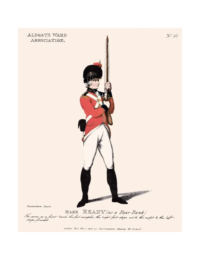
No. 56 Aldgate Ward Association
£15.00
Aldgate Ward (scroll down for a more detailed Description)
The first reprints of the 1798 aquatints by Thomas Rowlandson (published by Rudolph Ackermann) published in 1972 by Hugh Evelyn Limited.
Image size is 20.5 x 25.5 cm [8” x 10”] against a light greyish orange background (c. RGB fcf2e1) impressed on medium high white matt cartridge paper of c. 120 g/m2.
Print size: c. 26.2 x 33.7 cm [17” x 12 ¾”] may vary slightly from printers’ cut 50 years ago
Details of London Wards and Parishes provided by © the British Library
We offer thanks to the Trustees of the British Library and British Museum and Wikipedia for some text (and map outlines
Print is STANDARD size – shipping is the same for 1 to 10 prints (based on largest print size in your order) – see Shipping & Returns
Who were the Loyal Volunteers ? See here
In stock
Description

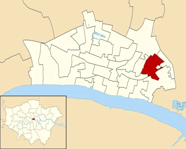
Aldgate was a gate in the former defensive wall around the City of London. (See map – click to expand).It gives its name to Aldgate High Street, the first stretch of the A11 road, which included the site of the former gate. The area of Aldgate, the most common use of the term, is focused around the former gate and the High Street and includes part of the city and parts of the London Borough of Tower Hamlets. It is 2.3 miles (3.7 km) east of Charing Cross. There is also an Aldgate Ward of the City of London. The Ward is of ancient origin, but intramural, so almost entirely distinct from the area around Aldgate High Street, which is mostly outside the line of the London Wall.
Additional information
| Weight | 0.0121 kg |
|---|---|
| Dimensions | 25 × 35 cm |


