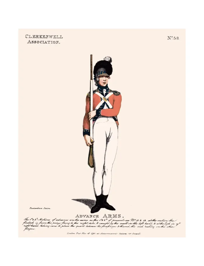
No.58 Clerkenwell Association
Original price was: £15.00.£10.00Current price is: £10.00.
Clerkenwell (scroll down for a more detailed Description)
The first reprints of the 1798 aquatints by Thomas Rowlandson (published by Rudolph Ackermann) published in 1972 by Hugh Evelyn Limited.
Image size is 20.5 x 25.5 cm [8” x 10”] against a light greyish orange background (c. RGB fcf2e1) impressed on medium high white matt cartridge paper of c. 120 g/m2.
Print size: c. 26.2 x 33.7 cm [17” x 12 ¾”] may vary slightly from printers’ cut 50 years ago
Details of London Wards and Parishes provided by © the British Library
We offer thanks to the Trustees of the British Library and British Museum and Wikipedia for some text (and map outlines
Print is STANDARD size – shipping is the same for 1 to 10 prints (based on largest print size in your order) – see Shipping & Returns
Who were the Loyal Volunteers ? See here
In stock
Description

Clerkenwell is an area of central London, England (see map – click on it to expand). It was an ancient parish from the mediaeval period onwards, and now forms the south-western part of the London Borough of Islington. The well after which it was named was rediscovered in 1924. The watchmaking and watch repairing trades were once of great importance. Goswell Street formed the eastern boundary of the Clerkenwell parishes, with the River Fleet, now buried beneath Farringdon Road and other streets, forming the western boundary with Holborn and, in part, St Pancras.[3] This western boundary with both neighbouring areas is now used as part of the London Borough of Islington’s western boundary with the London Borough of Camden. Pentonville is a part of northern Clerkenwell, while the southern part is sometimes referred to as Farringdon, after the railway station of that name – which was named after Farringdon Road (an extension of Farringdon Street) and originally named Farringdon Street Station. Finsbury Town Hall and the Finsbury Estate lie in Clerkenwell, rather than Finsbury. They are named after the former Metropolitan Borough of Finsbury which included Clerkenwell, Finsbury and other areas. The Industrial Revolution changed the area greatly. It became a centre for breweries, distilleries and the printing industry. It gained an especial reputation for the making of clocks, marine chronometers and watches, which activity once employed many people from around the area. Flourishing craft workshops still carry on some of the traditional trades, such as jewellery-making.
Additional information
| Weight | 0.0121 kg |
|---|---|
| Dimensions | 25 × 35 cm |


