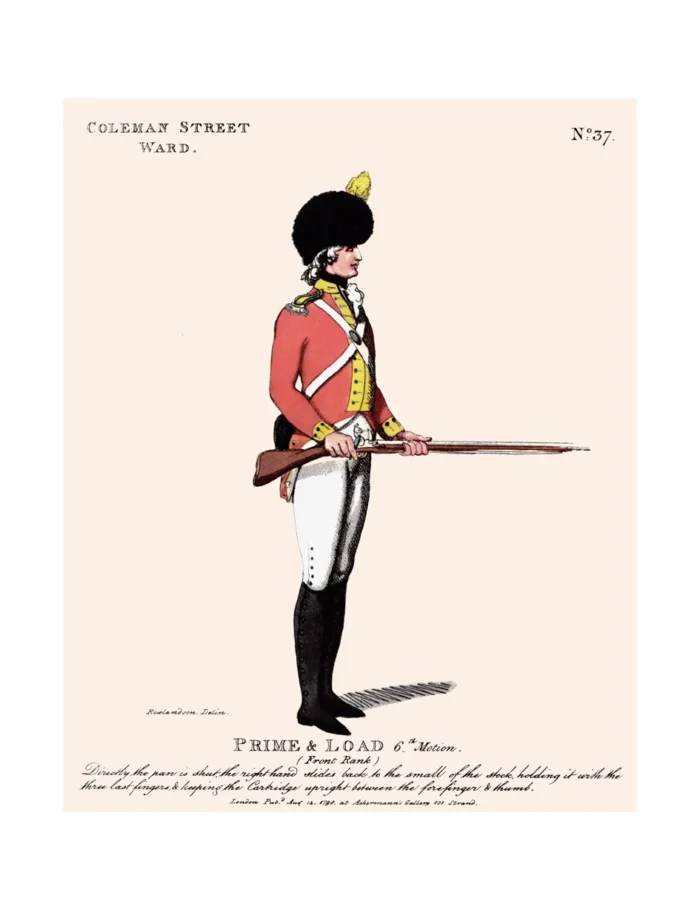
No. 37 Coleman Street Ward
Original price was: £15.00.£10.00Current price is: £10.00.
Coeman Street Ward (scroll down for a more detailed Description)
The first reprints of the 1798 aquatints by Thomas Rowlandson (published by Rudolph Ackermann) published in 1972 by Hugh Evelyn Limited.
Image size is 20.5 x 25.5 cm [8” x 10”] against a light greyish orange background (c. RGB fcf2e1) impressed on medium high white matt cartridge paper of c. 120 g/m2.
Print size: c. 26.2 x 33.7 cm [17” x 12 ¾”] may vary slightly from printers’ cut 50 years ago
Details of London Wards and Parishes provided by © the British Library
We offer thanks to the Trustees of the British Library and British Museum and Wikipedia for some text (and map outlines
Print is STANDARD size – shipping is the same for 1 to 10 prints (based on largest print size in your order) – see Shipping & Returns
Who were the Loyal Volunteers ? See here
In stock
Description

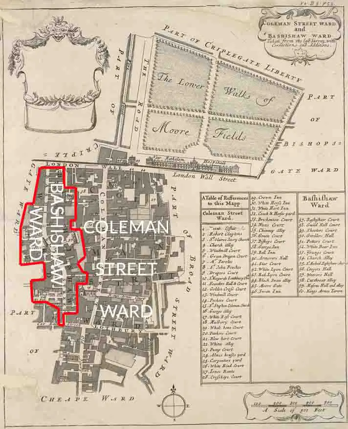
Coleman Street is one of the 25 ancient wards of the City of London and lies on the City’s northern boundary with the London Borough of Islington. (See map).
The ward, which includes land lying on either side of the former city wall, takes its name from a road linking Gresham Street with the London Wall road. The first mention of the Ward appears to have been in 1130, but at that time it was common practice to use the name of the ward Alderman to refer to the ward. In the 1130 survey, Coleman Street Ward is thought to correspond to Warda Haconis.
The Ward contains areas both outside and inside the line of the City’s former defensive walls. There was no local gate through the wall until Moorgate, previously a small postern, was built in 1511. Abraham Cowley‘s 1661 Restoration comedy The Cutter of Coleman Street refers to the area. It appears that the area outside, the once very marshy Lower and Little Moorfields (now mostly occupied by Finsbury Circus and the surrounding buildings), previously part of the Soke of Cripplegate and then the Manor of Finsbury, was added in the 17th century, though it was not developed until 1817. The Walbrook, known at this point as Deepditch and running on the line of modern Blomfield Street, formed the eastern boundary of Lower Moorfields and the line continues to form the eastern boundary of the part of the ward lying north of the former wall,[7] with the extra-mural ward of Bishopsgate Without lying east of the brook, and the road which now covers it. This section of the Walbrook, around Blomfield Street, was the focus of the phenomena of the Walbrook Skulls, resulting from the immense quantities of Roman-era human heads that were deposited in the river. These are still regularly uncovered during building work.
Additional information
| Weight | 0.0121 kg |
|---|---|
| Dimensions | 25 × 35 cm |


